— the source-verified travel guide
Every place worth visiting, checked against the official record.
Real cities, real parks, real coastlines — each destination verified in government gazetteers, photographed under open licences and written up as a complete guide: how to get there, when to go, what to do.


Verified, never invented
Every record cites the official gazetteer or agency behind it — the source list sits right on each page.
One complete guide per place
Getting there, best months, a sensible day plan, what to combine it with, and the questions travellers ask.
Licensed photography
Real photos from Wikimedia Commons and Openverse, each with its licence and credit visible.
 Guide of the week
City · Pays de la Loire · FR
Nantes
Nantes earns its place in this guide for a simple reason: it is a verified city in Pays de la Loire, France, and with roughly 325,070 residents it functions as a full-service base rather than a dot on the map - hotels, restaurants and transit all exist here. With 8 other verified places within 150 km, it anchors a cluster instead of…
47.217° N, 1.553° W · coordinates and record verified against the official gazetteer
Read the full guideJust published
Featured destinations


The guide format
Every page follows the same four promises
Consistency is what makes 230,687+ pages usable — open any guide, anywhere in the world, and you already know where to look.
Getting there
Exact coordinates, the nearest town with its own guide, and one-click links that open the place straight in Google Maps or OpenStreetMap.
Best months
A season window computed from the place’s own latitude and hemisphere — a beach guide and a mountain guide in the same country rarely agree, and they shouldn’t.
A sensible plan
What to see first, what to combine it with, and what the nearby file holds — written from the verified record, never guessed.
The evidence
The gazetteer name and record ID behind every page, plus the licence and photographer credit under every photo.
Popular countries
View all →World coverage
Explore by continent
Asia
61,141 places · 46
Europe
57,378 places · 45
North America
53,906 places · 35
Africa
36,775 places · 52
Oceania
10,910 places · 21
South America
10,577 places · 10
Mountains
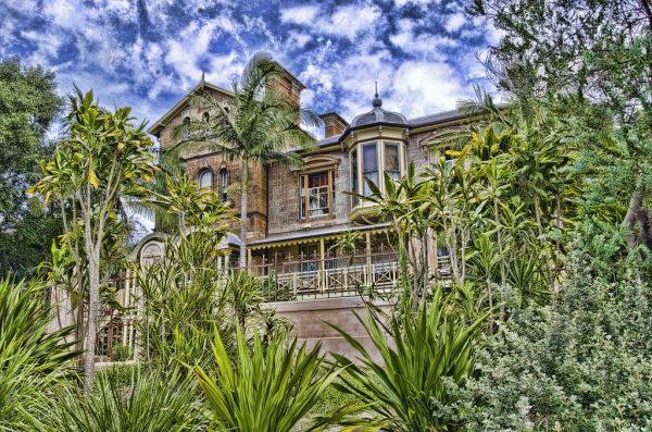
125,036 guides · e.g. Mount Wood

Rivers
12,490 guides
Cities
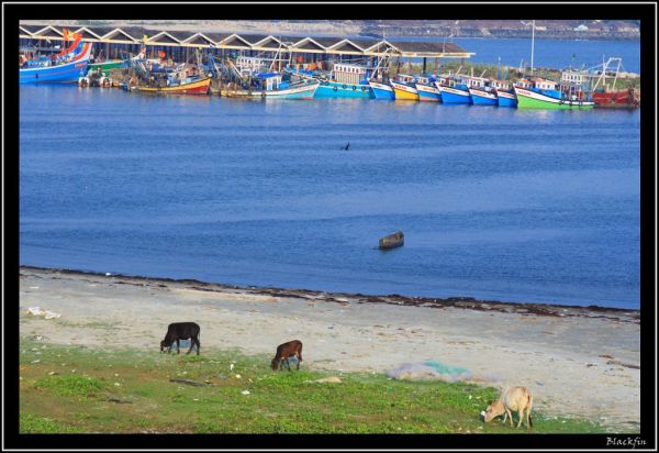
62,290 guides
Hiking & Trails
125,039 guides
What are you in the mood for?
Eight landscapes, indexed from the official record.
These are not marketing categories — each one is a live slice of the master database, matched to the feature type and activities recorded by the survey: from 125,036 mapped mountains to 8,458 catalogued lakes and 62,290 cities.
- Mountains
- Peaks, volcanoes and scenic high ground
- 125,036
- Lakes
- Shorelines, islands and still water
- 8,458
- Rivers
- Valleys, fords and put-in points
- 12,490
- Cities
- Capitals and city breaks, country by country
- 62,290
- Hiking & Trails
- Day hikes through long-distance routes
- 125,039
- Waterfront
- Harbours, beaches and shore walks
- 35,362
- Attractions
- The things-to-do list around every place
- 7,920
- Landmarks
- Monuments, squares and historic sites
- 158
How a guide gets made
Nothing here is machine-guessed. Four checks stand between a name on a map and a published guide — and the evidence of each one sits openly on the page.
- 01
Matched to the record
Every name is checked against an official source first — the U.S. Census GNIS, national GeoNames gazetteers, the NPS data list, or PADS and Audiala for Africa. Unverifiable names never get a row.
- 02
Fixed on the map
Coordinates, feature type, region and country are normalised, duplicates merged, and parent cities linked — one master record per real place.
- 03
Photographed legally
Images come only from Wikimedia Commons and Openverse. The licence and photographer credit travel with every photo, and copies are served from our own mirror.
- 04
Written as one guide
The verified facts are laid out as a complete guide: getting there, best months, a sensible day plan and the questions travellers actually ask.
Questions, answered
Frequently asked questions
What is CollabsTravel?+
CollabsTravel is a travel-guide platform built on a single source-verified master database of destinations. Every country, state, city and attraction page carries a full travel guide with exact coordinates, licensed photography, season-by-season timing and practical day-plan routes.
Where does the destination data come from?+
Every record is matched against official sources before it is published: the U.S. Census Domestic Names Gazetteer, the National Park Service data list, GeoNames national gazetteers, and for Africa the PADS and Audiala gazetteers. Nothing is invented — each page lists the sources behind it.
How many destinations and countries are covered?+
CollabsTravel publishes guides for destinations across more than 200 countries and territories, covering every U.S. state, and each country’s regions and cities. New countries are added in verified batches, so the catalogue keeps growing while quality gates stay in place.
Are the photos on destination pages legally licensed?+
Yes. Images come only from Wikimedia Commons and Openverse, both of which index freely licensed photography. Every image shows its licence and attribution on the page — there is no scraped or unlicensed imagery anywhere on the site.
How does CollabsTravel decide the best time to visit a place?+
Best-time guidance is computed per destination from its real location: hemisphere-aware seasonality for world places and climate-grouped guidance for U.S. states, refined by the place category — beach, hiking, city or snow sports each get different window advice.
Is CollabsTravel free to read?+
Yes. Every destination guide, photo gallery and FAQ is free to read with no account required, and the interface is available in ten languages including right-to-left Arabic.
Every country. Every state. Every city.
One source-verified master database covering 209+ countries and their regions — pick any nation and start exploring.
Data · U.S. Census · NPS · GeoNames · PADS · Audiala · Photos · Wikimedia Commons · Openverse